Behind closed doors: Borders in Africa as colonial legacies
The majority of today’s borders between African countries were established during colonial times. The “Congo Conference”, which took place in Berlin in 1885 – more or less behind closed doors and without African interest groups – is considered a key event. In the course of time, the colonial powers divided up the continent among themselves. Their own strategic and economic interests were in the foreground.
One story in particular underlines the arbitrariness of border making: British Queen Victoria is said to have given her cousin the German Emperor the Kilimanjaro for his birthday, which is why the highest mountain of Africa is not in Kenya, which was then British-occupied, but on the other side of the border in Tanzania (the former German colony Tanganyika).
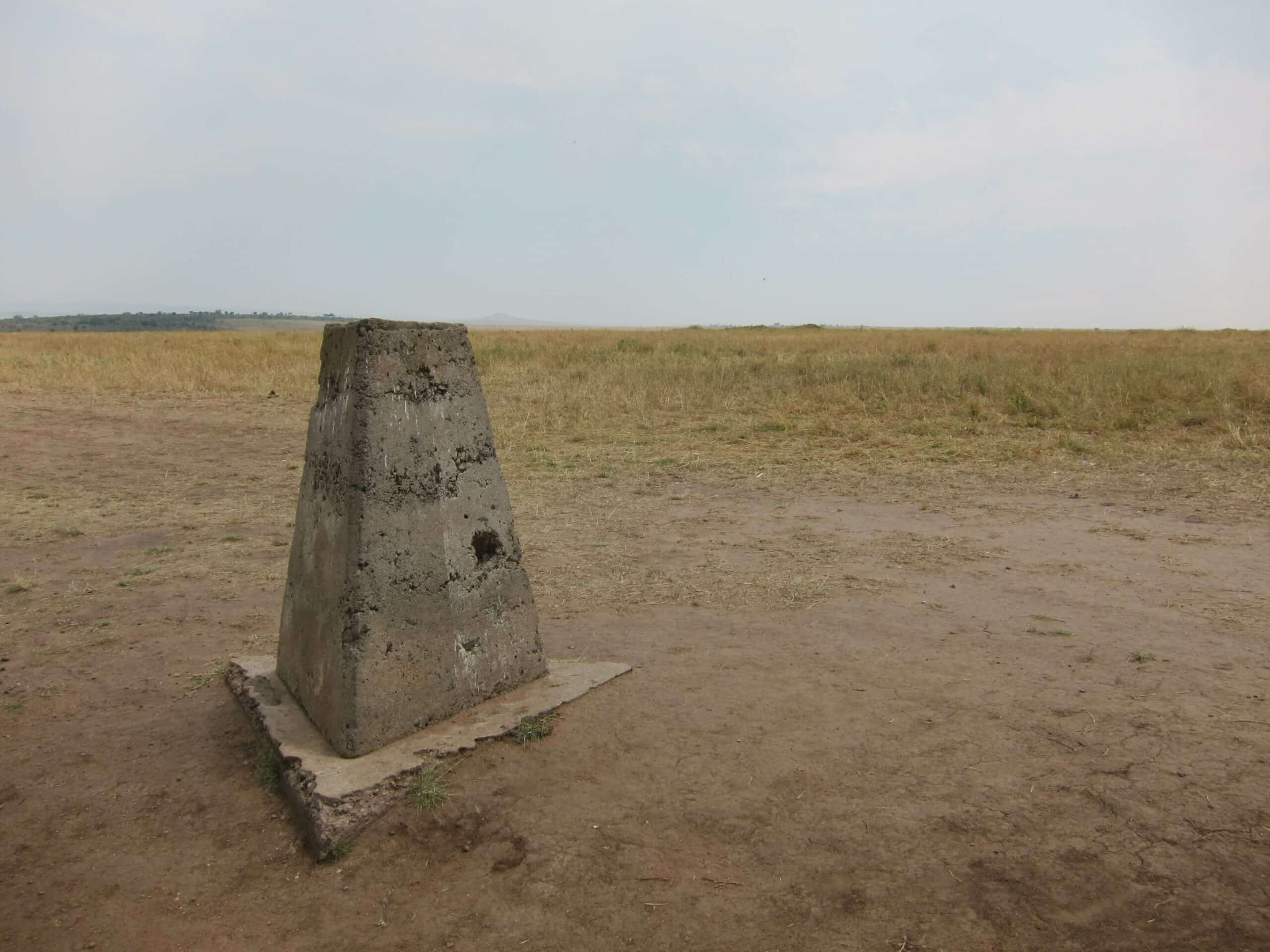
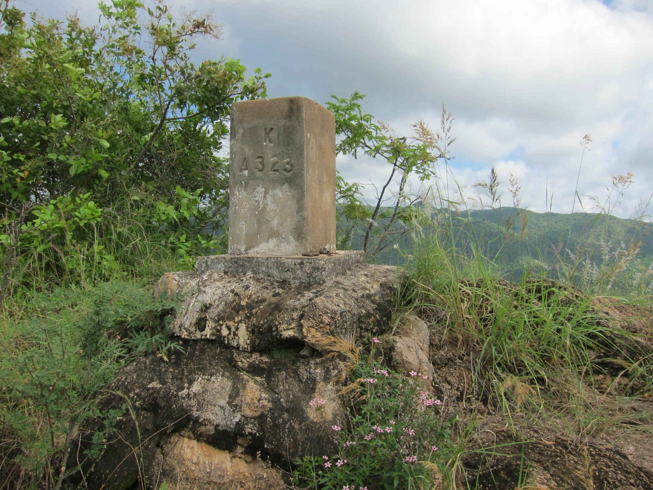
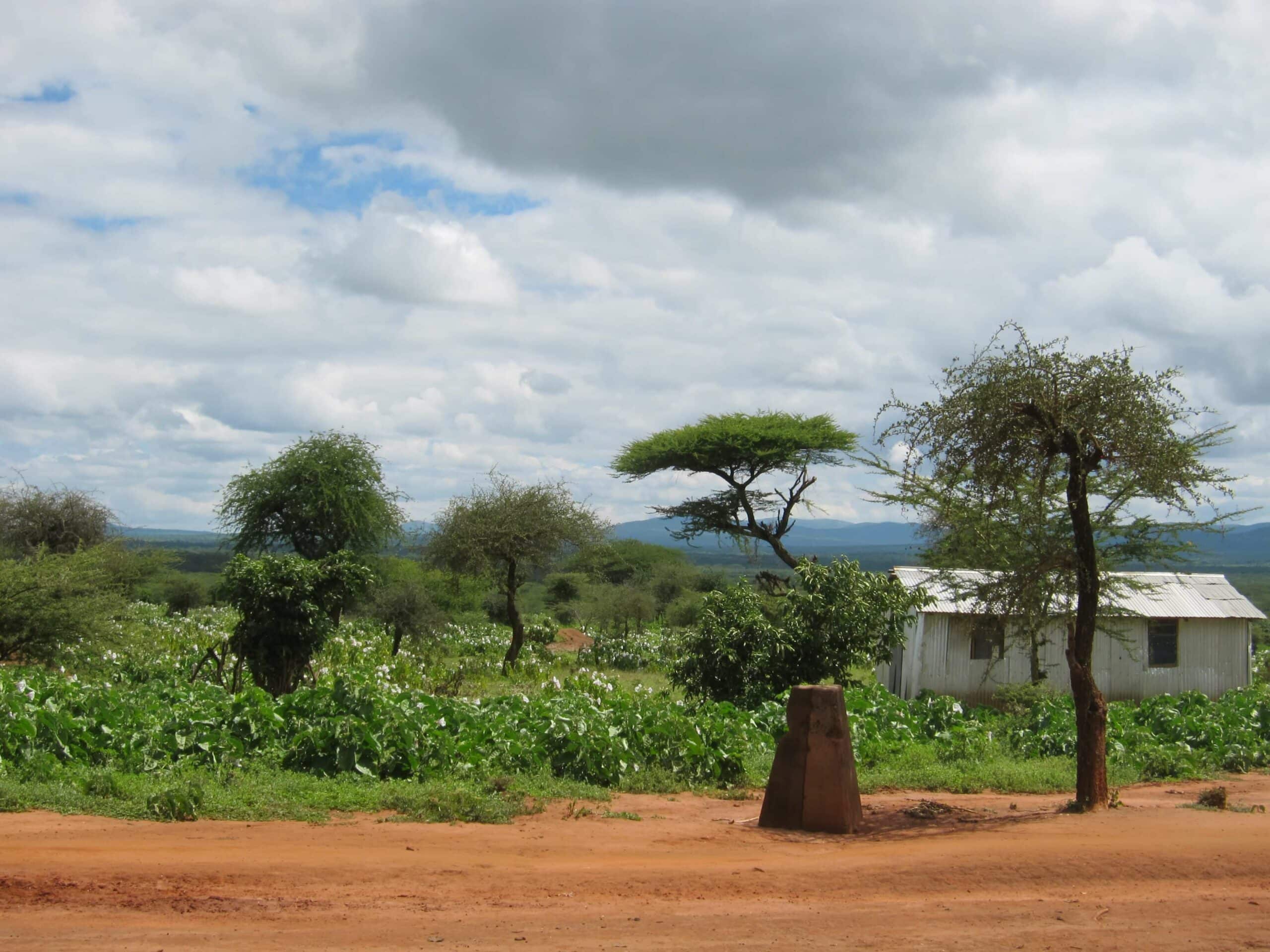
At the time of border demarcation, Europe still had very little knowledge of the local conditions on the continent, and existing political and linguistic-cultural borders of pre-colonial Africa were often completely disregarded when the borders were drawn. European border demarcation teams were sent to border regions where, despite local protest, they determined border points through geographic measurement techniques. Even today, the old boundary stones are a reminder that borders were a fundamental tool for the colonial exercise of power.
"The boundary marks should consist of cement concrete beacons being quadrangular truncated pyramids, min. 60 cm wide at base, 25 cm wide on top, 1,25 m height, erected on a concrete platform 1 m square and approx. 4 decimetres in depth sunk level with the surface of the surrounding ground. (…) On every boundary mark should be inscribed the exact latitude and longitude, the date, and the words Kenya and Ethiopia on the sides together with a serial number."


